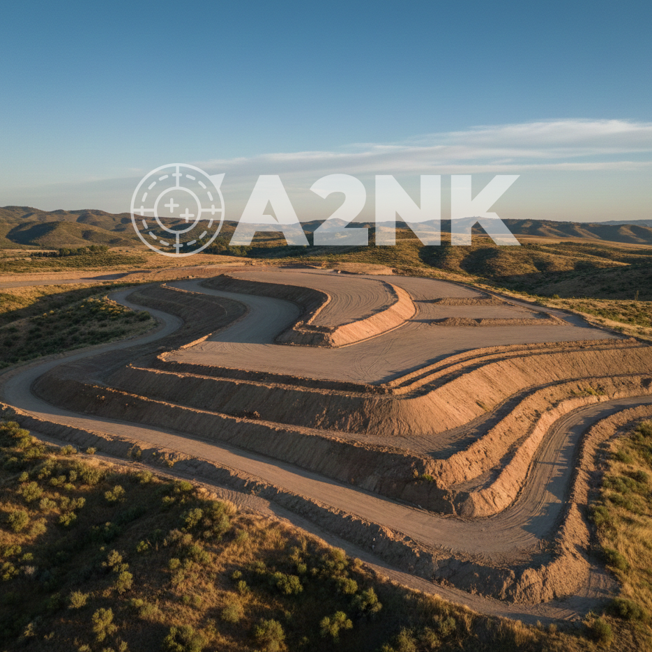

A detailed 3D model showcasing the proposed grading for a large residential tract in Southern California. This civil engineering 3D visualization helped the client secure Investor buy-in can be achieved by clearly communicating the earthwork required
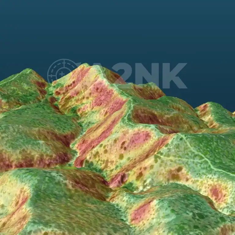
Visual representation of slope analysis, critical for site planning and regulatory compliance
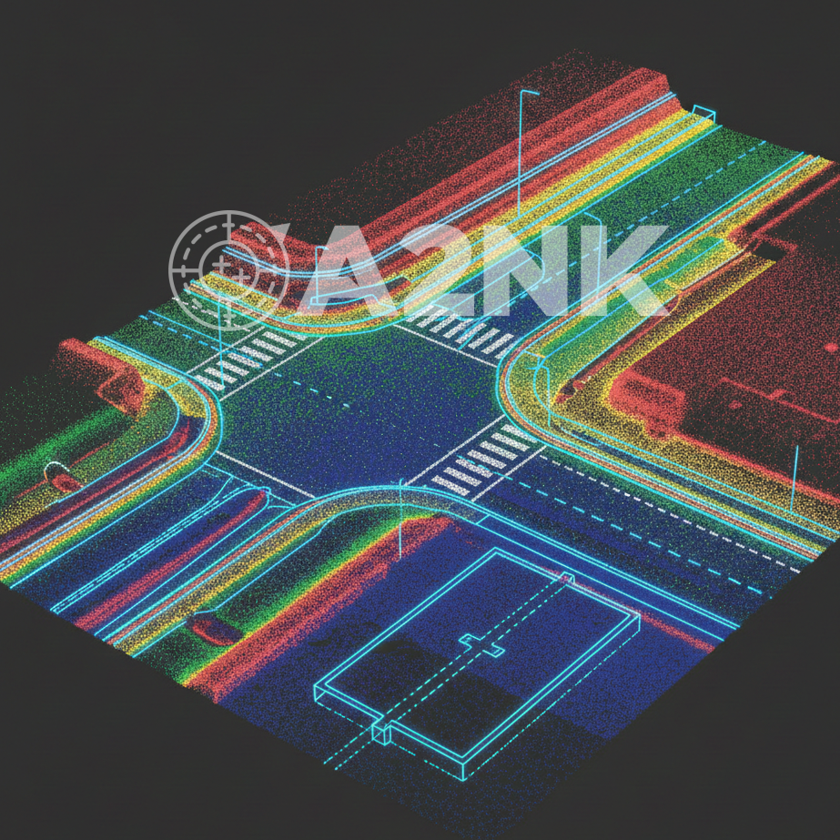
Demonstration of combining CAD designs with high-density point cloud data for precise project visualization and clash detection
High-Density LiDAR Point Cloud (Interactive)
Millions of precise LiDAR points rendered live in your browser.
Explore the terrain, then picture it as the foundation for accurate topographic mapping and cut/fill volume calculations on your own site.
Interior LiDAR Scan (Interactive)
A handheld LiDAR scan of a residential interior, captured and processed by A2NK. Walk
through the space in your browser, then picture it as the basis for as-built floor plans and renovation planning.
Shown for visualization only – coordinates are local to the scan and this is not survey control.
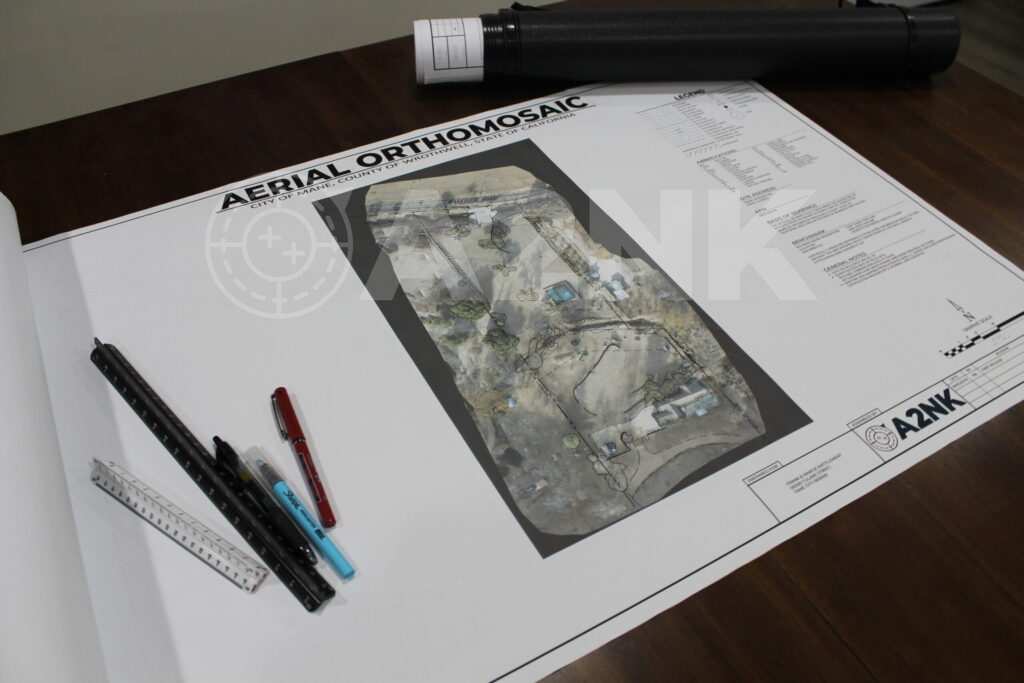
High-Resolution Orthomosaic Site Map
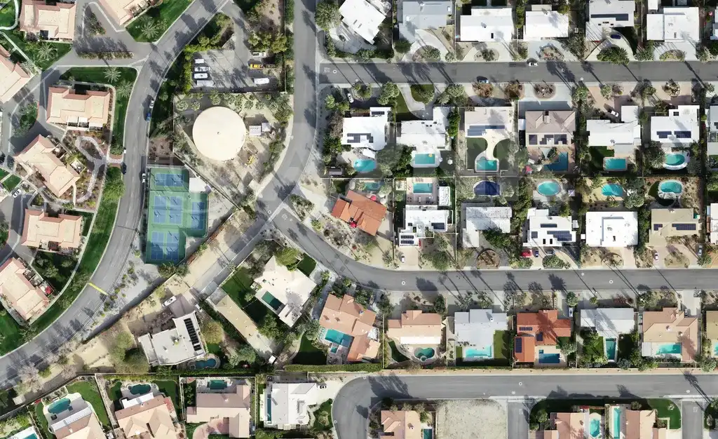
Georeferenced aerial image of a residential resort community in Southern California, providing a true-to-life base map for planning and progress monitoring, created by stitching together hundreds of individual drone photos
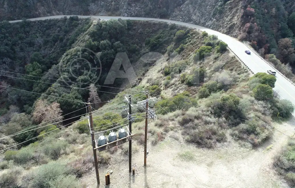
Oblique Aerial Photos (Utility Corridor)
Angled aerial photographs offering unique perspectives for marketing, progress reporting, asset documentation, and site context
From One Drone Flight to a Plan Set
Overlapping imagery, ground control, and a processed model turn a flight into measurable geometry: an orthomosaic, a point cloud, and contours. Then we draft on it.
UAV Orthomosaic VS Reality Photography
An ortho is built from dozens of overlapping photos, each one corrected so every pixel sits at its true map position. Straight down, everywhere at once.