


A detailed 3D model showcasing the proposed grading for a large residential tract in Southern California. This civil engineering 3D visualization helped the client secure
Investor buy-in can be achieved by clearly communicating the earthwork required
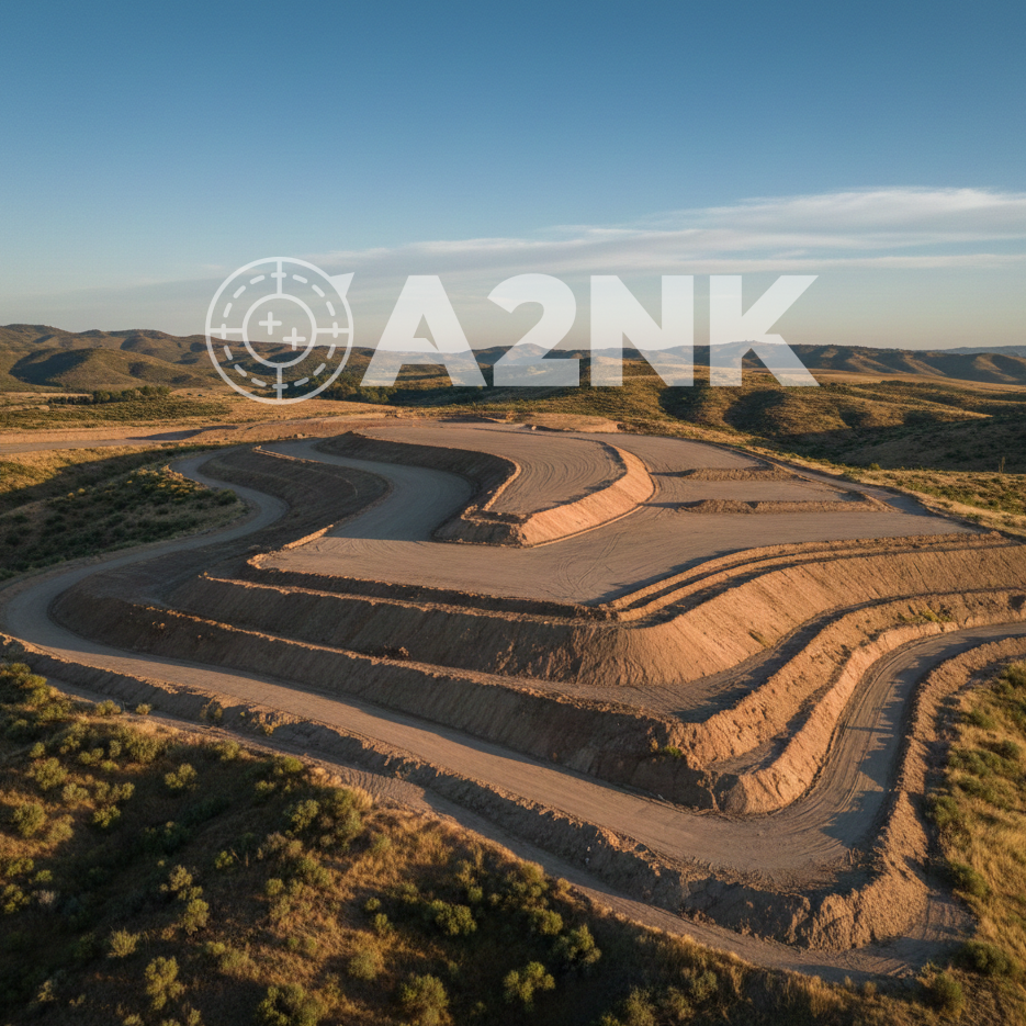
Visual representation of slope analysis, critical for site planning and regulatory compliance
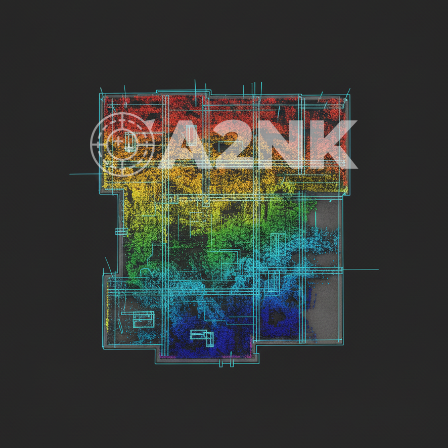
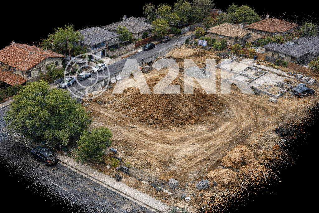
Demonstration of combining CAD designs with high-density point cloud data for precise project visualization and clash detection
High-Density Point Cloud (Residential Site)
Detailed point cloud data captured for a residential development, used for accurate topographic mapping and volume calculations
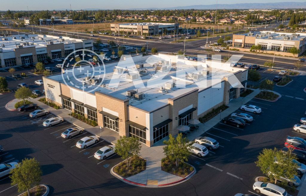
High-Resolution Orthomosaic Site Map
Georeferenced aerial image of a commercial center in the Inland Empire, high-resolution aerial imagery providing a true-to-life base map for planning and progress monitoring, created by stitching together hundreds of individual drone photos
Oblique Aerial Photos (Commercial Center)
Angled aerial photographs offering unique perspectives for marketing, progress reporting, and site context
Pre-Construction Site Fly-Through
Aerial video tour demonstrating existing site conditions prior to construction
Post-Grading Progress Video
Time-lapse or progress video showcasing site transformation after grading operations